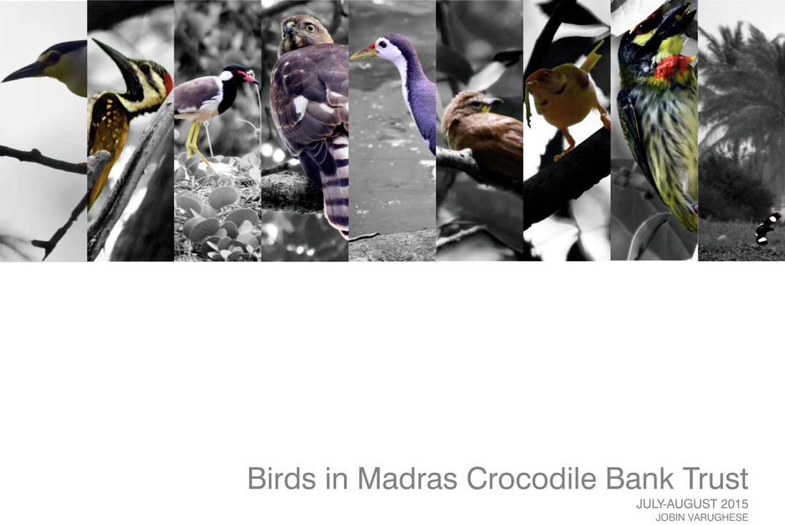
 Madras Crocodile Bank Trust lies 45 km south of the city Chennai along the East Coast road with its back towards the Bay of Bengal. It houses many endangered species of crocodilian family and other reptiles from the Indian Sub-continent and further. The rectangular plot of approximately 120 m X 340 m, slopes slightly down from the road towards the middle of the plot, rises again and drops again towards the sea. The soil is sandy and the water level is not too deep. The vegetation is different from the surrounding area. The plot is shaded with large trees planted across its length and breadth. The cement-lined ponds constructed for the reptiles throughout the campus have further ameliorated the temperature and humidity conditions across the campus. The micro-climate created has invited hordes of birds to stop over, feed and/or reside in the campus. The list of visiting and resident bird species was available before the study. About 60 species of birds have been recorded in the campus throughout the year. The current study is carried out within the months of July and August, during the season of south-west monsoon. The study aims at looking at the campus in totality with its surrounding to understand the reason for it being a popular bird-refuge. Activities and behavior of the birds were observed and general elevations from the ground for all activities were listed . This is supposed to clarify the feeding spots, nesting spots and general perch points across the campus and across the structure of the vegetation. All the studies are done transect-by-transect and within a particular time-frame. The study for the campus involved the following:
Nesting points are the ones that have been observed on the campus. They might not be exhaustive for the campus. 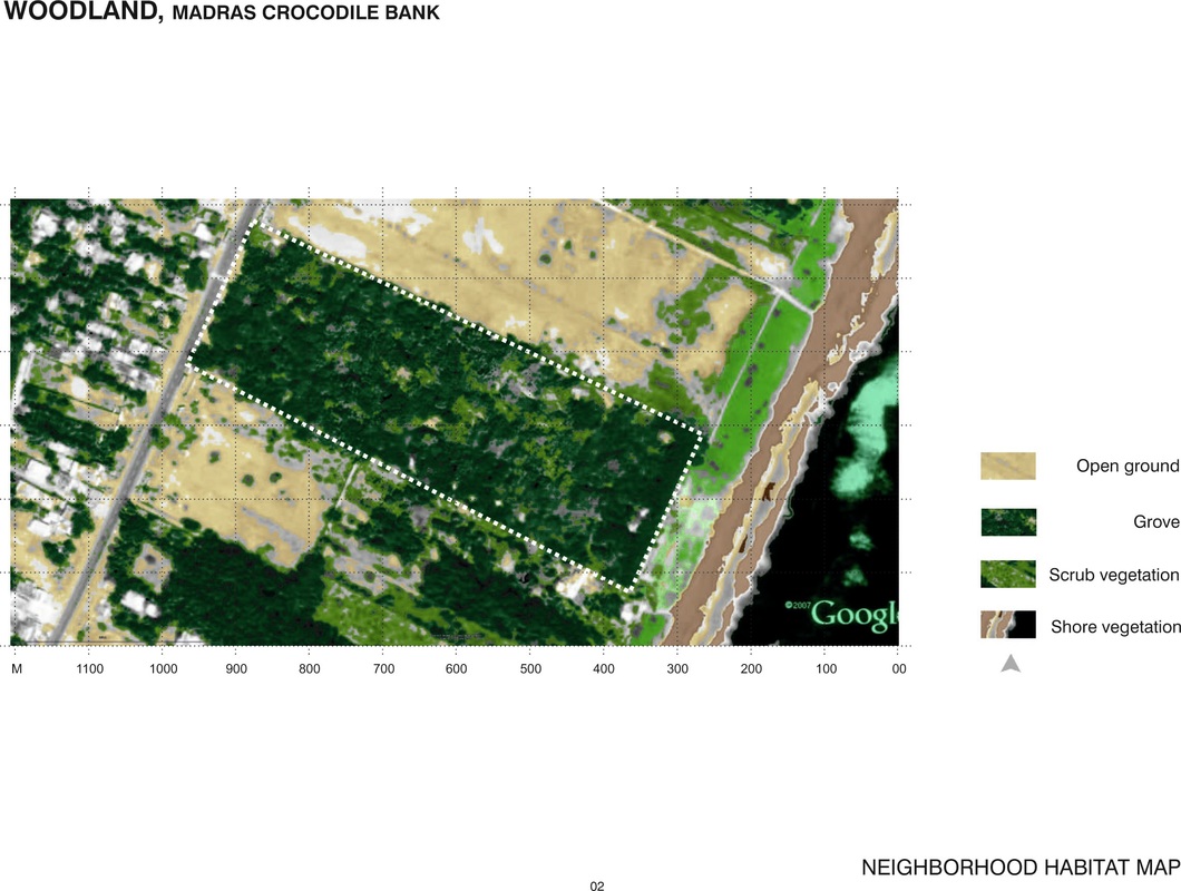 - Three line transects were chosen in the campus for the study. - Sample points were marked along each line transect, each at a distance of 50 m from each other and 25 m from the starting point. - When standing at each transect sample point for a ten-minute period, birds seen (only) within a radius of approximately 15 metres were mapped for the following: - location on a approximate tree-cover map of the transect point sample. - Height of the bird from the ground level - Movement of the bird shown with a line and an arrow on the tree-cover map of the transect point sample. Tree-cover map was drawn on a graph sheet by using approximate scales. 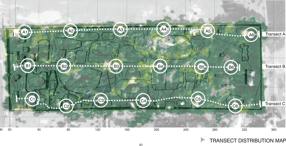 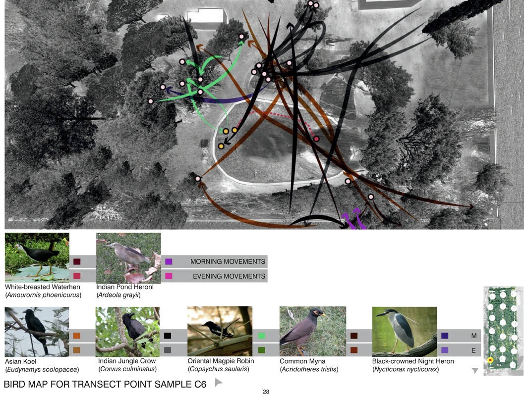 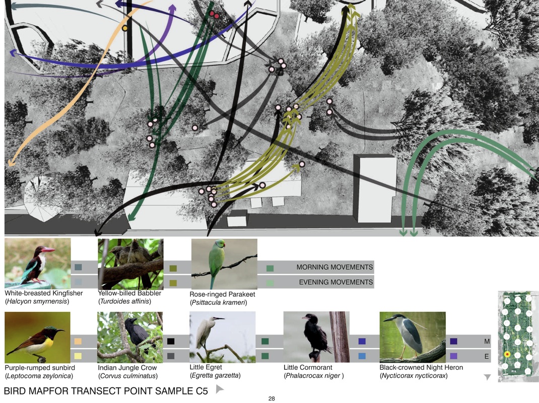 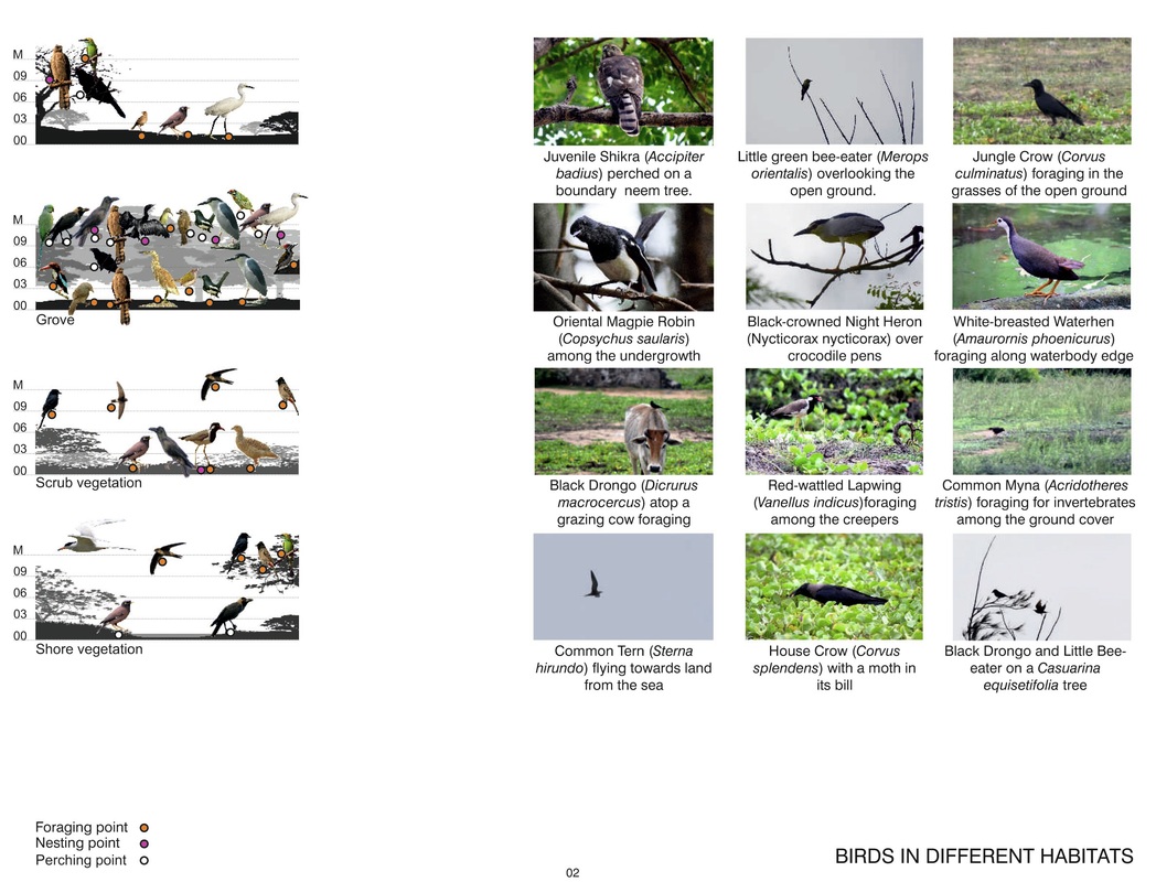 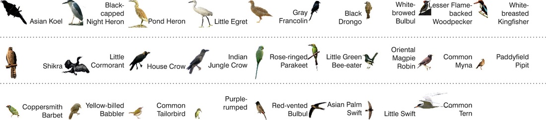
0 Comments
|
